 Open in Fullscreen
- Image is not present for this map. You can contact us under geoportost@ios-regensburg.de for more information.
Full Title
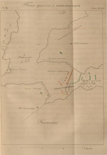
Plan sraženija pri Tavastenskerě
Places
Subjects
License
Public Domain
Publication Place
Languages
Type
Scale
43000
Publication years
1841 — 1842
Depicted years
1808 — 1810