 Open in Fullscreen
- Image is not present for this map. You can contact us under geoportost@ios-regensburg.de for more information.
Full Title
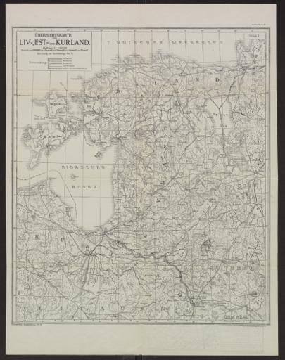
Übersichtskarte von Liv-, Est- und Kurland
Places
Subjects
Languages
Type
Scale
1000000
Publication years
1918 — 1919
Depicted years
1918 — 1919